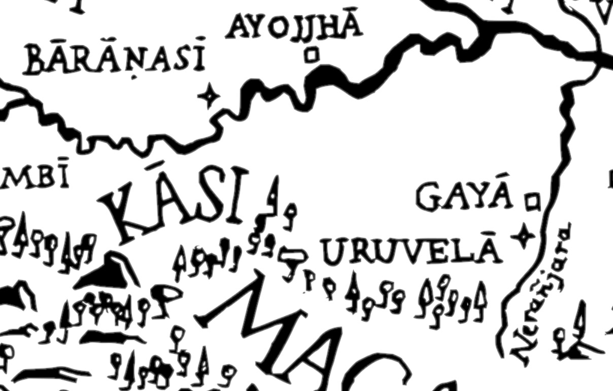
Referring to MN26, I was revisiting the sutta looking into the relative locations of the towns mentioned there. Sec 17.1 describes the Bodhisatta arriving at Uruvela to practice. Specifically, the footnote states that Uruvela is now Bodhgaya in the Gayā district of Bihar.
Later in sec 25.1 the Buddha, now awakened, is described as walking between Gayā and Bodhgaya, which appears to indicate that (a) either Gayā and Bodhgaya were two towns, and the latter not a town within the Gayā district, or (b) Bodhgaya was a town in a district different from Gayā.
I’m probably misreading something here, but this is the passage in question from sec 25.1: “antarā ca gayaṁ antarā ca bodhiṁ addhānamaggappaṭipannaṁ.”
How should we interpret the descriptions in the passages, and the locations of the towns or district? Thanks.
Not off the top of my head , but it’s not hard to work out. North to southern Nepal, east to Bengal, west to Delhi, south to the hills, maybe half way to Avanti.
I remember seeing a Google maps somewhere where many if not all the locations mentioned in the suttas were pinned. Was that here? I can’t remember for the life of me.