Within the Ganges Basin this was likely true, but the land around the plane was (and is) significantly drier.
@sujato
I found an artist on fiverr.com that specializes in making maps in the style of Tolkien.
The cost range from $40-$130. I think this would be your best option as it could be customized to your exact specifications. I could pitch in $25, maybe a few of us could pool some money together and cover the cost. Not sure if the link will work without account, but there are examples of the artist work and some of them are really amazing.

5 Likes
Thanks for the tip!
It looks like Jonas is interested to take this on, but I’ll definitely bear this in mind.
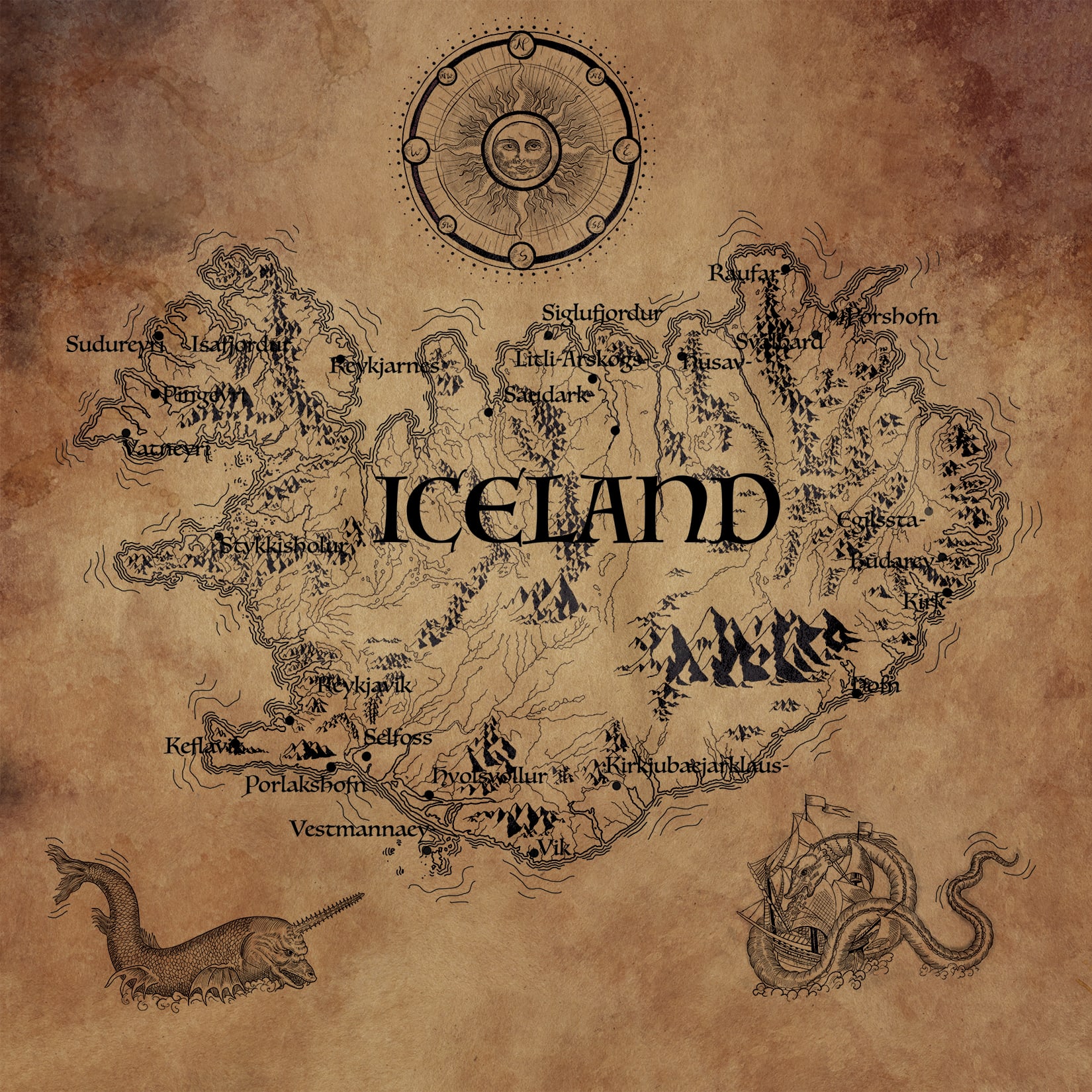
BTW on the same site, there’s a nice map of Sri Lanka:
1 Like
Yes, very detailed. I‘m wondering, however, if it might be too detailed. As I‘ve started committing it to paper, it seems like there are just too many rivers there, especially in the most populated heartland around the Ganges. If you compare it to the RF map, you‘ll notice that they left out a bunch of side rivers to make the map simpler.
I‘m starting to suspect that our finished map would be confusing and very hard to read in the most important areas if we don‘t leave at least half of the rivers on the buddhamap.org map out. (While it definitely looks crowded, this isn‘t as apparent in the original because it‘s using color and has much finer lines than I can produce with pencil and ink, plus microscopic writing.) If we were to do that, though, I would need some scholarly help to decide which rivers to keep and which ones to leave out.
Well, there are some major rivers that definitely ought to be there. One problem though is that the course of rivers change, and I believe that has happened in some cases.
Let’s follow the RF as a starting point.
Named rivers should include
- ganges
- yamuna
- aciravatī,
- sarabhū
- mahī
- godhavari
- neranjara
Alright, I‘ll mark them in red on the buddhamap in the coming days, so we can see if anything important is missing. I‘ll also try to thin out the area east of the Ganges and the Himalayan foothills so they don‘t look too out of place.
Are there historical records of these course changes and their extent that we could use to recreate the original course? And are the changes so significant that they would skew the map to the point of possible misunderstandings, or is this more a matter of principle?
Not so far as I know, it’s pretty vague. But the river we think is the Mahi has changed course quite drastically even in the past decade or so.
2 Likes
Sorry for the wait, I have some viral infection at the moment and had to rest.
So, in the picture below I‘ve marked the rivers you mentioned.

Obviously, quite a few are still missing. Anything south and west of the Ganges cluster isn‘t a problem, as the rivers aren‘t too close together there.
Speaking purely visually, from the heartland I‘d also include the Ghaghara, the Gomati, and possibly the Son. What do you think?
About the Himalayas, I‘d probably just not picture the river sources and have some nice mountains there instead.
East of the Ganges cluster, toward the edge, there‘s a tangle of rivers. Unless some of them are important, I‘d just leave them out of the map.
By the way, any new insights about the course changes?
Sorry to hear that, please take the rest you need!
Okay, I’m not familiar with them: do we know their Pali names?
Indeed there is.
Sorry, no.
By the way, I think we have Bavari’s hermitage, which is the start of the Parayanavagga journey, wrong. I probably followed Anandajoti’s map here:

As you can see, this has a “left hook” at the bottom, and situates the origin at Mūlaka to the west of Patitthana.
Compare however this map from Wikipedia:

The origin point is described rather as “in the domain of Assaka, close by Aḷaka, on the bank of the Godhavari”.
Now, Aḷaka is merely a variant reading for Mūlaka (also maḷaka, muḷaka, mūḷhaka). This is a dubious place name which appears to be mentioned nowhere else but here. The only other mention is later in the same passage, where they are said to first go to “Patiṭṭhāna of Aḷaka”. So this rightaway shows that Anandajoti’s separation of Patitthana and Alaka/Mulaka cannot be correct.
Luckily, we have an exact location for Patitthana, which is the modern Paithan.
According to Raychaudhuri as cited on Wikipedia, Alaka/Mulaka was incorporated in Assaka during this time, so it was probably politically speaking a province at the west of Assaka as indicated on the above map.
Now, the Godhavari is flowing from the north-west (modern Nashik) through to Paithan and thence to the capital of Assaka, which is identified as the modern Bodhan. Unfortunately you can’t highlight rivers on Google maps, but the road journey follows a similar trajectory.
If Bavari’s hermitage was to the west of Patitthana, there would be no reason for them to backtrack there at the start of their journey. It must have been downstream along the Godhavari, to the south east. Probably not far, as it remained within the Alaka province.
By the way, the word I have translated in saying that Bavari’s hermitage in Alaka is “close by” Assaka is also dubious. It is samāsana (or samāsanna), literally “sitting with”.
It’s only used twice elsewhere in the Pali, where it has two senses: a parrot who lived “close by” a hut, or a lowly jackal that cannot have “equal standing” with a tiger king. The commentary says it means that Bavari lived in a border region under the shared dominion of the kings of Alaka and Assaka. Perhaps it is just a coincidence, but the Pandyas, a prominent dynasty of southern India, were known to have practiced coregency at some times, which might lend support to the commentary.
Thank you, I will!
I don‘t, but except for the Son, they‘re listed in Wikipedia‘s category Rivers in Buddhism.
But maybe we can attack this from a different angle, make a list of all the cities and other sites that should be featured on the map (again, the fewer places there are in dense areas, the more elegant I can make it look; compare the chaos of detailed Indian geography to the nice, clean Middle Earth map), see which ones are located next to a river, and include that river.
Well, yes. Do you think we can safely omit it for style and clarity? Unfortunately, I‘m not versed in the geography of Buddhist India, so I have to ask for instructions like that. And please forgive my insistence, it‘s just that I want to avoid errors that readers might falsely attribute to you and any other authors of the book.
What‘s the plan? Should we include everything as it is, or is there some research underway?
Let’s leave them out, just include the rivers I mention above, and see how we go. If others seem needed we can add them later.
Yes, I don’t think it’s going to be possible to pin this down any more precisely.
Here‘s a WIP barebones version with just the rivers you pointed out, capital cities and some change. It‘s missing proper lettering (will decide on size and placement only after everything‘s on the map), names of kingdoms and republics, nice mountains and forests, a title plaque, a simple ornamental frame (possibly featuring a smattering of Bodhi leaves if I‘m feeling frivolous), a scale indicator, and probably a lot of places. I‘ve been using a grid for flexibility; adding things afterwards with a traced sketch isn‘t quite so handy.
- Could you make a list of rivers and places that are missing?
- Do we want special icons for certain places? If so, what should they be?
- The spelling and diacritics are taken from the SC map, but I couldn’t find everything, so please make corrections if necessary.
- I‘d also be grateful if anyone had any pointers regarding the placement of mountains (aside from the Himalayas) and forests.

4 Likes
I don’t know if I could list the rivers, but I feel like there should be a couple of rivers coming from the north, past Mithila and Apana. I believe the major river that joins the Ganges near Apana was the Mahī. It’s not the river to the south that you have here, see this former post:
I’d suggest shrinking the scale a little, to make the outlines of the oceans a bit clearer.
Up to you. Maybe little drawings or flourishes would be better? Like some trees for a forest, or buildings for a city? But it depends on the scale.
They look good to me.
There are hills around Rajagaha, and these are important, as they’re mentioned often in the suttas. To the south also there is a rugged region known as the “southern hills”, modern Deccan. It’d be good to include these, as they show why the “southern road” went south-west rather than directly south.
As to forests, there are several that are named in the texts, like the “Dark Forest” outside of Savatthi. But I’m not sure if you have room for these. Otherwise, maybe just wait until the place names are there and put some tree in the empty places of the fertile regions, i.e. not in the deserts of the west.
1 Like
I can include them. There are also some places on the map that are close to a river we haven‘t put in yet, so it would be awkward not to have them.
On the buddhamap.org map, that would be the Kamla.
You‘re right, even at this scale it could be hard to make any icons recognizable. I‘ll see if anything comes to mind.
Thank you, I‘ll be sure to include those! By the way, can or should we draw in some roads?
With the reduced number of rivers and places that‘s possible, but it will be a tradeoff since the further we zoom out, the more crowded it‘s gonna get around the Ganges, and the more white space we will have everywhere else. Not sure it‘s worth it.
Anyway, what do you think about the coast outline here, before I asked you to narrow down the region?
Should we put it down as a place, then? If so, could you mark your guess on a map?
The current sketch is also missing parts of the Parayanavagga journey I couldn‘t find on the buddhamap; I‘m assuming it would be OK to check the SC map and try to put them in the sketch as exactly as I can?
Sorry, I’m not sure what I’m seeing here: I only see the Kosi.
Not roads, only the few journeys that we have.
Indeed. I’ll leave it to you; maybe some graphics like waves would help?
As far as I can make out, the Kosi joins the Kamla before they both join the Ganges. But no matter, I‘ll just put the whole lot in.
We can probably fill white space in some way that isn‘t too awkward, I‘m more concerned about the crowding. But if you think the coast outlines in the map segment I quoted in my last post are sufficient, I can whip up a sketch of that and we‘ll see.
2 Likes
As far as rivers go, I have a book that contains a lot of information and images about them both ancient and modern. It is a Springer book and I have it because of academic subscription access. If it is OK with you, I can send it via DM. Here are a couple of images.


1 Like
Thank you very much! I can download it myself, my university has a Springer subscription as well. Bhante Sujato could probably use a copy, though.
Alright, here‘s a new zoomed out sketch showing coastline vs. crowding. As you can see, the Ganges area has very little space for appropriately-sized lettering, not to speak of any decorative mountains or forests. There‘s more coast, but I don‘t know if it‘s much of an improvement, the general outline of India still isn‘t that clear.
Apart from Patitthana, Mahissati, and Ujjeni, do we need to include a lot of places that aren‘t somewhere around the Ganges? Otherwise, I‘d say this is a bad tradeoff compared to the previous version.

1 Like
Hmm yes, I see the point. Well, back to the future!
If need be we could put an inset in the zoomed-in map to show where it fits in greater India. Anyway, let’s see.
That would be great, especially the chapter on rivers in ancient India!
1 Like
That would be great! There should be enough space for it to fit in some corner, I‘ll do some experiments on how best to render that in black and white.
I‘ll go back to the previous sketch then, put the missing rivers in, and start with some of the ornaments. If there are no more things to add, I might have the entire pencil sketch done before visiting mum over Christmas, and we can let it digest a bit before committing to it with ink in the new year.
2 Likes